Edinburgh tram routes 1950
There are two ways to use this map:
1. Put your cursor over a route number to see a map of that route – or
2. Put your cursor over a point on a route to see the routes at that location. Routes that terminated there are shown bold, and other routes that served the location in normal font.
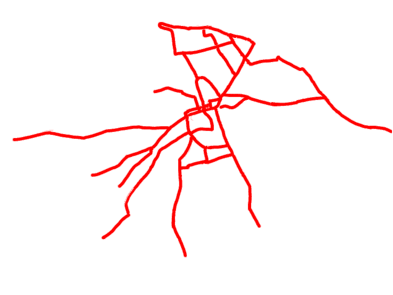
These maps show tram routes as at 1 January 1950. This was just before Edinburgh Corporation started to withdraw routes as part of the process of closing the tramway system and replacing all routes by buses.
Base map: Ordnance Survey® One-Inch Map Sheet 74 (War Revision 1940)
At night, Edinburgh tramcars showed two lights at the front, to help passengers identify the service. The use of the lights was temporarily stopped during the war, but resumed in October 1946. These colours are shown on the information panel for each route.
If you find any mistakes, please contact me .