1896 map 13
To see more detail, move your cursor over the map, and an enlarged rectangle will appear. Use your mouse wheel or equivalent to change the level of magnification. The map is made up of four parts, which will magnify separately.
Reproduced from 1896 Ordnance Survey® map (original scale 1:2500, equivalent to 25.344 inches per mile)
I am very grateful to Scott Brown, former proprietor of the Starbank Inn, for lending the original.
Interesting features on this map
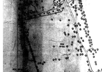
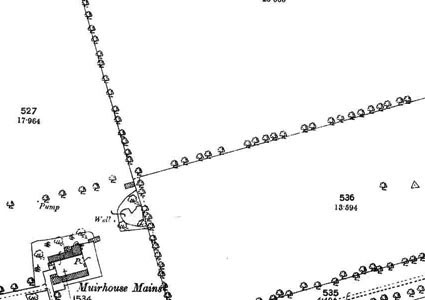
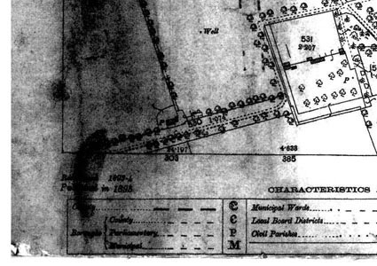
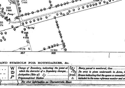
This map shows farmland and a farmhouse, Muirhouse Mains.
This area is now occupied by houses in the Muirhouse and Pennywell areas. The road running across the lower part of the map between the lines of trees is now Silverknowes Parkway and Muirhouse Parkway.