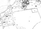
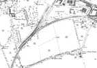
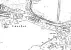
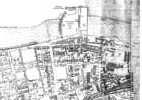
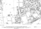
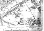
1896 map index
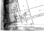
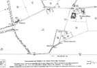
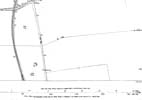
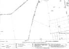
This map, published by the Ordnance Survey in 1896, is based on surveys carried out in 1893 and 1894. It has been scanned from a large paper original consisting of two sheets (1.14 and 1.15) which had been joined together and marked up in connection with what seems to have been proposed legislation.
The map has been presented as black and white on these web pages and a heavy red line that had been drawn onto it around Granton Harbour has been removed along with some light tinting and discoloration, but the map has not been photo-edited beyond that. It seems to have been stored in a roll for many years, and the darkening at the ends is a result.
I am very grateful to Scott Brown, former proprietor of the Starbank Inn, for lending the original.
Please click on the section that you are interested in – the detailed map will then open. You can move between maps without coming back to this index page.
This is the index to the six detailed maps.


