1896 map 15
To see more detail, move your cursor over the map, and an enlarged rectangle will appear. Use your mouse wheel or equivalent to change the level of magnification. The map is made up of four parts, which will magnify separately.
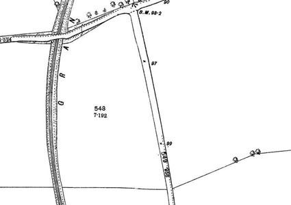
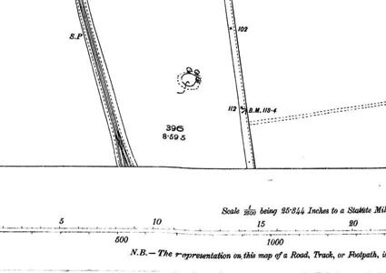

Reproduced from 1896 Ordnance Survey® map (original scale 1:2500, equivalent to 25.344 inches per mile)
I am very grateful to Scott Brown, former proprietor of the Starbank Inn, for lending the original.
Interesting features on this map
In the 1890s this area was still farmland.
The two roads that meet at the junction at the top left of the map later became Granton Road West (east to west) and Crewe Road North (north to south).
Part of the Caledonian Railway Granton branch can be seen, the bridge where it passed under West Granton Road surviving until the 1990s when the road was substantially widened and a new junction made just to the west, for West Granton Approach (which used the route of the railway to Ferry Road) and Waterfront Broadway.
The area south of West Granton Road later became built up, mainly in the 1930s, with housing developments at West and East Pilton.