1896 map 3
To see more detail, move your cursor over the map, and an enlarged rectangle will appear. Use your mouse wheel or equivalent to change the level of magnification. The map is made up of four parts, which will magnify separately.
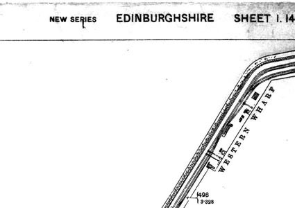
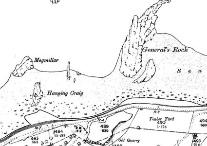
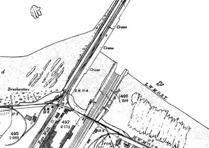
Reproduced from 1896 Ordnance Survey® map (original scale 1:2500, equivalent to 25.344 inches per mile)
I am very grateful to Scott Brown, former proprietor of the Starbank Inn, for lending the original.
Interesting features on this map
This map shows the Firth of Forth, part of the beach, and features near the waterfront including the former Granton Quarry (marked ‘Old Quarry’), a timber yard and a rope walk. No doubt it was convenient to have this near the harbour, where vessels would require ropes of various kinds, particularly in the days of sailing ships.
Also shown are the western part of Granton Harbour with railway lines running along the western breakwater to allow easy transport of goods to and from vessels moored alongside. Also shown is Morton’s Patent Slip, near the south west corner of the map, where vessels could be pulled out of the water for repair. Much of the western harbour has been filled in and new houses have recently been built on it.
Partly off the bottom of the map is Granton Iron Works.