1896 map 5
To see more detail, move your cursor over the map, and an enlarged rectangle will appear. Use your mouse wheel or equivalent to change the level of magnification. The map is made up of four parts, which will magnify separately.
Reproduced from 1896 Ordnance Survey® map (original scale 1:2500, equivalent to 25.344 inches per mile)
I am very grateful to Scott Brown, former proprietor of the Starbank Inn, for lending the original.
Interesting features on this map
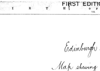
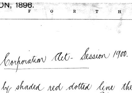
The copy of the map that I have used had been marked up for presentation to Edinburgh Corporation in connection with proposed legislation. We have left the handwritten note on the map, but have removed a red line that had been marked on it to show the area that was affected.