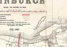
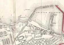
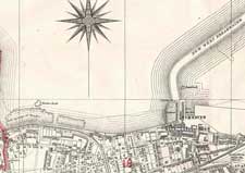
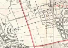
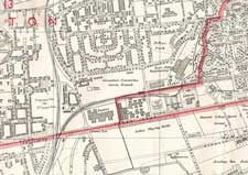
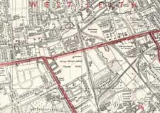
1952 map index
This is the index to one of a set of three maps, for 1933, 1940 and 1952. The areas covered by each section are the same, and you can move between years to see the changes.
Please click on the section of the Granton area that you are interested in – the detailed map will then open. You can move between maps without coming back to this index page.
This is the index to the six detailed maps.
