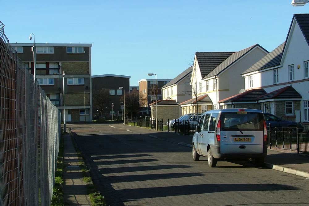
Granton Mains and Granton Mill
Map
Introduction – Granton Mains
These streets form part of the Granton area, and are located near the site of Granton Mains, a farm which can be found on the 1896 OS map.
This area has had three stages in its development. Immediately after World War II, prefabs were built. (There was another area of prefabs to the west of Pennywell Road, in the Pennywell area.) Street names included West Pilton Wynd, Row, West Pilton Walk, West Pilton Path, West Pilton Way and West Pilton Loan. West Pilton Road continued further north than it now does, to join West Granton Road.
These streets can be seen on the 1952 map (south west section) and 1952 map (south section).
In the 1960s the site was redeveloped with deck access flats. Street names at that stage included West Granton Crescent, West Granton Row, West Granton Terrace, West Granton Gardens and West Granton View.
The deck access flats were demolished in the early 1990s and new buildings, mainly two storey houses, were built between 1993 and 2002 by West Granton Housing Co-operative Ltd![]() .
.
Granton Mains Avenue
This street was named in 1993.
Granton Mains Bank
This street was named in 1993.
Granton Mains Brae
This street was named in 1993.
Granton Mains Court
This street was named in 1993.
Granton Mains East
This street forms part of a development carried out between 1993 and 2002.
Granton Mains Gait
This street was named in 1993.
Granton Mains Vale
This street was named in 1993.
Granton Mains Wynd
This street was named in 1993.
Introduction – Granton Mill
The Granton Mill streets were developed after Granton Mains. There had been a mill near here area – identified as Threshing Mill near the top left corner of the 1933 map.
Granton Mill Crescent
Granton Mill Drive
Granton Mill March
Granton Mill Park
Granton Mill Place
Granton Mill Road
Granton Mill West
These streets form part of a development carried out between 1993 and 2002.
